
Severozápadní směr

Jihovýchodní směr

Jihozápadní směr

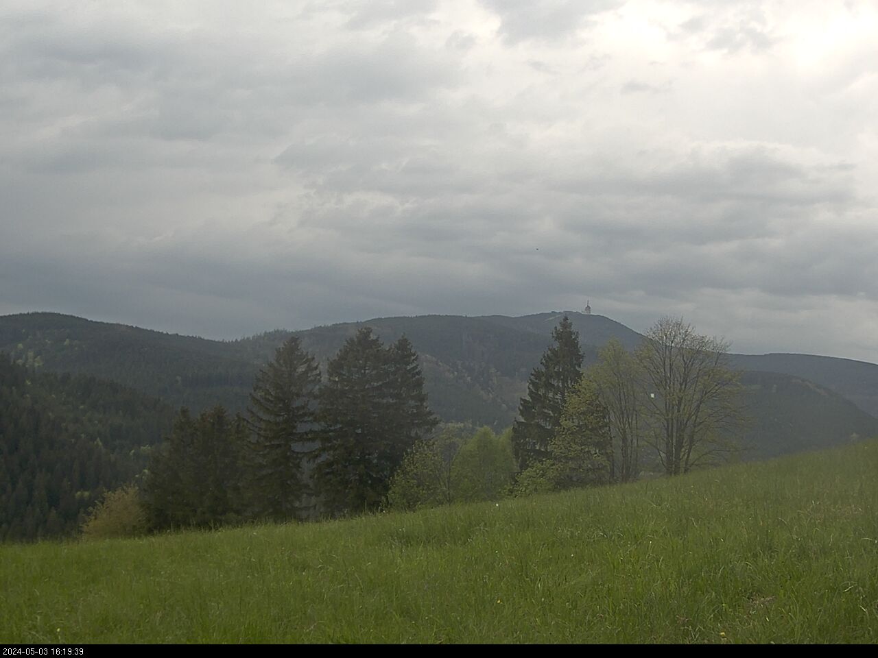
Lysá hora od Visalají
Plní funkci základního stupně územní samosprávy a v různé míře je také vykonavatelem státní správy.
PŮSOBÍ NA KATASTRÁLNÍM ÚZEMÍ: