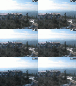
Lysá hora 1323 m n. m. - královna Moravskoslezských Beskyd
Saturday 24. May 2025
Hrabětice nad Odrou [ Cadastral territory ]

Hrabětice lies about 1 km from Jeseník nad Odrou in the southwestern direction in ups and downs by the road from Jeseník nad Odrou to Bělotín. From 1850 it was an independent village till 1957 when it became a part of Jeseník nad Odrou. In 1980 there lived 51 inhabitants in 13 houses in Hrabětice while in 1991 it was 35 inhabitants in 10 houses.
NEXT LINKS
- [ Cycle route ] Cyklotrasa Oderskem Odry - Hrabětice - Jeseník n.O. - Odry
- [ Cycle route ] The Cycle Path of the Kravařsko Circle 52.00 km
LOCATION
- WGS-84: 49.6062N, 17.881933333E
- Altitude: 272.00 m
- Village or Town/City: Jeseník nad Odrou
- District of Administration 2: Nový Jičín
- District of Administration 3: Nový Jičín
- Region NUTS 4: Okres Nový Jičín
- Region NUTS 3: Moravskoslezský kraj
- Region NUTS 2: Moravsko-Slezsko
- Tourist region: 40 Poodří
- Destination: Severní Morava a Slezsko
NA ÚZEMÍ MÍSTNÍ ČÁSTI EVIDUJEME
- History of Hrabětice (History)
- Jeseník nad Odrou - Hrabětice (Street or locality)
Type: Cadastral territory
LAST MODIFY: Šormová Helena (INFOSYSTEM s.r.o.) org. 56, 23.10.2021 v 11:27 hodin


