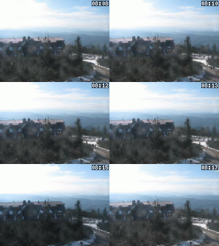
Lysá hora 1323 m n. m. - královna Moravskoslezských Beskyd
Saturday 26. July 2025
Jičina [ Cadastral territory ]
The part of Starý Jičín.
The built up area connects with the south margin of Starý Jičín, houses dispersed on both sides of the Jičina stream and the road.
The built up area connects with the south margin of Starý Jičín, houses dispersed on both sides of the Jičina stream and the road.
NEXT LINKS
- [ Natural Park ] Natural Park Podbeskydí
LOCATION
- WGS-84: 49.569766667N, 17.962016667E
- Village or Town/City: Starý Jičín
- District of Administration 2: Nový Jičín
- District of Administration 3: Nový Jičín
- Region NUTS 4: Okres Nový Jičín
- Region NUTS 3: Moravskoslezský kraj
- Region NUTS 2: Moravsko-Slezsko
- Tourist region: 38 Beskydy - Valašsko
- Destination: Severní Morava a Slezsko
NA ÚZEMÍ MÍSTNÍ ČÁSTI EVIDUJEME
- Starý Jičín - Jičina (Street or locality)
- Spektrum o. s. (Club)
INFORMATION: http://www.stary-jicin.cz
Type: Cadastral territory
LAST MODIFY: Šormová Helena (INFOSYSTEM s.r.o.) org. 56, 23.10.2021 v 11:53 hodin


