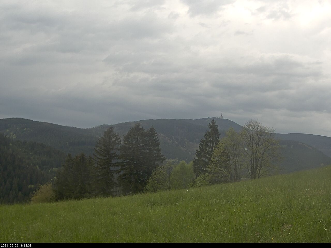
Veselí is situated 3 km southwest of Odry, at the southern edge of plateau at the elevation above sea-level of 519 m under the top of Veselský hill (557 m). Veselí is first mentioned in historical sources in 1362 as a part of the demense of Odry. To the demense of Odry it belonged for the whole period of feudalism as late as 1848. The village joined to the uprising of retainers at the demense in 1602 - 1604. In the 17th century beekeeping spead out here as well as in the surrounding villages that reached its greatest expansion in the 18th century. In 1721 there was built a wind mill in Veselí that stood still at the beginning of the 20th century. In 1770 there were 60 houses, in 1930 there were 73 houses and 417 inhabitants in Veselí. Mediaeval settlement till to the end of World War II was all of German origin, after 1918 with small Czech minority. In 1964 Veselí was integrated to Odry. In 2002 Veselí consisted of 147 inhabitants. The greatest fall in number of inhabitants happened most of all in connection with postwar finishing of settlemens where a great part of population was always changed in the 1950's and in the 1960's there and it took a long time to create a new stationary settlement of the village. In connection with moving of employment of great part of population from agriculture to industry displacement of countryside continued in the 1970's and 1980's also in Veselí. At present some buildings are used by cottagers for recreation. Church of the Holy Trinity dates back to the end of the 18th century, parish is from 1809. In 1785 a cementery was built in Veselí, till then a cemetery in Dobešov eventually in Odry was used. Since 1807 the village was relieved of parish and obtained a local padre. The whole Veselí lies in the southern part of a great quit region. In surrounding forests there affects fallow animals. On hill of Veselí, north of Veselí a television and relay tower were built. The tower is 80 m high and consists of two parts, the brick one is 50 m high and prefabricated one with antennas 30 m. From the highest point of hill of Veselí there are under nice weather far beautiful views over the Moravian Gate of Beskydy and Hostýn's tops. Through the village there a marked tourist route goes through. In winter there are good conditions for ski running on local pastures. The route uses to be unkept, only "footworn" by ski runners. The village sealing-stick acquired in the second half of the 18th century portrayed a picture of plough in ploughed field.