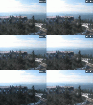
Lysá hora 1323 m n. m. - královna Moravskoslezských Beskyd
Thursday 18. December 2025
Nezdenice [ Village or Town/City ]
The Village of Nezdenice (cca 810 inhabitants, area of 808 hectares) is located in the foothills of the White Carpathian mountains. Is lies close to the main cycle route no. 5049 and serves as a suitable starting point for tours to the White Carpathians Protected Area. In the village od Hostětín, there are many opportunities of participating in various summer and winter tourist activities. All the information concerning the village of Hostětín and the Bojkovice microregion is available in the Bojkovice Microregion Information Centre as well as in the tourist information centre located at the entrance premises of the Zámeček area in Nezdenice. There is also a liqueur-producing plant in the village.
Plní funkci základního stupně územní samosprávy a v různé míře je také vykonavatelem státní správy.
PŮSOBÍ NA KATASTRÁLNÍM ÚZEMÍ:NEXT LINKS
- [ Cycle route ] Cyklotrasa č. 5049 Uherské Hradiště - Pitín 28.50 km
- [ Cycle route ] Cyklotrasa č. 5053 Nezdenice-Březová (CZ/SK) 0.00 km
- [ Microregion ] Mikroregion BOJKOVSKO
- [ Microregion ] Mikroregion UHERSKOBRODSKO
LOCATION
- WGS-84: 49.0166821N, 17.752203E
- Altitude: 245.00 m
- Statistický kód obce: ZUJ 592421
- District of Administration 2: Bojkovice
- District of Administration 3: Uherský Brod
- Region NUTS 4: Okres Uherské Hradiště
- Region NUTS 3: Zlínský kraj
- Region NUTS 2: Střední Morava
- Tourist region: 35 Slovácko
- Destination: Jižní Morava
THERE ARE ABOUT VILLAGE OR TOWN/CITY
- Klub českých turistů - odbor (1)
- Cadastral territory (1) [osm]
- Castle - chateau (1) [gps] [osm]
- Chapel (1)
- Church or cathedral (1)
- Cycle route (1)
- Downhill run with ski-tow (1)
- Geological Interest (1)
- History (1)
- Literature (1)
- Local Authority (1)
- Local Board of Representatives (1)
- Map (1)
- Mineral water springs (1)
- Pub (1)
- Railway (1) [gps]
- Sight (1)
- Street or locality (1)
- Theatre (1)
- Transportation (2)
INFORMATION: http://www.nezdenice.cz
Type: Village or Town/City
LAST MODIFY: Šormová Helena (INFOSYSTEM s.r.o.) org. 56, 17.11.2021 v 20:17 hodin


