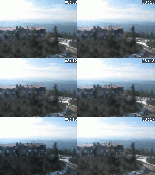
Lysá hora 1323 m n. m. - královna Moravskoslezských Beskyd
Monday 2. June 2025
Infopoint Mladotice - Ronov nad Doubravou [ Information service ]
LOCATION
- WGS-84: 49.868553776N, 15.545553078E
- Cadastral territory: Mladotice nad Doubravou
- Village or Town/City: Ronov nad Doubravou
- District of Administration 2: Třemošnice
- District of Administration 3: Chrudim
- Region NUTS 4: Okres Chrudim
- Region NUTS 3: Pardubický kraj
- Region NUTS 2: Severovýchod
- Tourist region: 28 Chrudimsko - Hlinecko
- Destination: Východní Čechy
THERE ARE ABOUT VILLAGE OR TOWN/CITY
- Vodní plocha (5)
- Association (2)
- Bridge or viaduct (4)
- Cadastral territory (3)
- Castle - chateau (2)
- Cemetery (1) [gps] [osm]
- Church or cathedral (3)
- Cross (1) [gps]
- Cycle route (1) [osm]
- Fire department (1) [gps]
- Fountain (1) [gps]
- Gallery (1) [gps] [osm]
- Junction (4)
- Natural point of interest (2)
- Notable personality (1)
- Nursery school (1) [gps]
- Parking place (1) [gps]
- Personality of FoS ČR (1)
- Primary school (1) [gps]
- Project (15)
- Pub (1) [gps] [osm]
- Railway (3)
- Statue, sculptural group or sculpture (1) [gps]
- Street or locality (8)
- Technical landmark (2)
- Town house or building (1) [gps] [osm]
- Towns or municipalities association (1)
- Trip (5)
- Village or Town/City (1) [gps] [osm]
- Water course (2)
- Water mill or windmill (1) [gps]
Type: Information service
LAST MODIFY: Martin Písař (MAS Železnohorský region) org. 127, 30.11.2022 v 13:22 hodin


