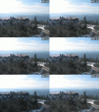
Lysá hora 1323 m n. m. - královna Moravskoslezských Beskyd
Wednesday 15. October 2025
Rokytnice [ Village or Town/City ]
The Village of Rokytnice (cca 590 inhabitants,area of 830 hectares) The village is divided into two parts - Rokytnice and Kochavec. The village is well-known for the large number of cultural and sporting activities taking place in Rokytnice and the close neighbourhood every year /see the web pages of the Bojkovice microregion/. Numerous sporting activities are organized in the village quite regularly and ,in a sheltered encampment close to the village, various cultural events often take place. Since 2000, friendly encounters of Czech and Slovak inhabitants have been traditionally organized at Kochavec in the locality of "Peňažná".The formation of Kochavec represents an ideal starting point for summer as well as for winter trips to the neighbouring nature spots due to its separation and location in the close vicinity of the White Carpathians mountain range.
Plní funkci základního stupně územní samosprávy a v různé míře je také vykonavatelem státní správy.
PŮSOBÍ NA KATASTRÁLNÍM ÚZEMÍ:- Kochavec, Rokytnice [osm]
- Rokytnice u Slavičína, Rokytnice [osm]
NEXT LINKS
- [ Cycle route ] Cyklotrasa č. 49 Pitín - Brumov - Nedašova Lhota 6.00 km
- [ Microregion ] Mikroregion BOJKOVSKO
LOCATION
- WGS-84: 49.06614N, 17.9113588E
- Altitude: 358.00 m
- Statistický kód obce: ZUJ 556980
- District of Administration 2: Brumov-Bylnice
- District of Administration 3: Valašské Klobouky
- Region NUTS 4: Okres Zlín
- Region NUTS 3: Zlínský kraj
- Region NUTS 2: Střední Morava
- Tourist region: 37 Zlínsko
- Destination: Jižní Morava
THERE ARE ABOUT VILLAGE OR TOWN/CITY
- Cadastral territory (2)
- Cross (1)
- Cycle route (1)
- History (1)
- Local Authority (1)
- Local Board of Representatives (1)
- Map (1)
- Notable personality (2)
- Transportation (3)
INFORMATION: http://www.rokytnice.org
Type: Village or Town/City
LAST MODIFY: Šormová Helena (INFOSYSTEM s.r.o.) org. 56, 18.11.2021 v 21:34 hodin


