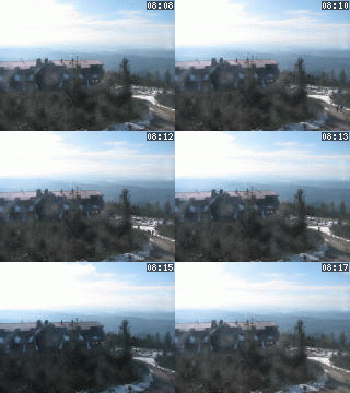
Lysá hora 1323 m n. m. - královna Moravskoslezských Beskyd
Tuesday 3. June 2025
The Šipka cave [ Cave ]

The territory of the town was colonized as early as in the prehistoric period. On the limestone hill called Kotouč in the caves Šipka and Čertová díra were found by the archeologist K. J. Maška the remains of settlement and skeletal remains of a Neanderthal man from the period of 40 000 years B.C., so called "Šipecká čelist" (Šipka´s jaw-bone), then implements and bones of primeval animals.
Many of these archeological findings descend from the Stone Age (about 3000 years B.C.) During the Bronze Age (800 years B.C.) a fortification was built on the Kotouč hill.
The medieval colonization is documented for the beginning of 13th century, from which apparently originate the remains of a settlement on the place called Plaňava and two little forts called "Jurův kámen" and "Panská vyhlídka".

NEXT LINKS
- [ Guide of Bohemia, Moravia and Silesia ] Let´s taste the "Štramberk ears" 1.00 km
- [ Trip ] Poznejte krásu Valašského Betléma - Štramberk
LOCATION
- WGS-84: 49.587766667N, 18.118883333E
- Village or Town/City: Štramberk
- District of Administration 2: Kopřivnice
- District of Administration 3: Kopřivnice
- Region NUTS 4: Okres Nový Jičín
- Region NUTS 3: Moravskoslezský kraj
- Region NUTS 2: Moravsko-Slezsko
- Tourist region: 38 Beskydy - Valašsko
- Destination: Severní Morava a Slezsko
INFORMATION: http://www.stramberk.cz
Type: Cave
LAST MODIFY: správce systému (Město Štramberk) org. 132, 17.10.2006 v 08:04 hodin


