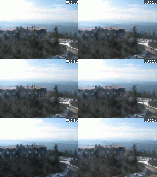
Lysá hora 1323 m n. m. - královna Moravskoslezských Beskyd
Tuesday 24. June 2025
Náměstí Republiky [ Street or locality ]
IN DETAIL
- The Green Gate [ Look-out tower ] [gps] [osm], 220.00 m.n.m.
- St. Bartholomew´s Church [ Church or cathedral ] [gps] [osm], 220.00 m.n.m.
- East Bohemian Theatre [ Theatre ] [gps] [osm], 220.00 m.n.m.
- Commercial centre Grand [ Architectonic monument ] [gps] [osm], 220.00 m.n.m.
- Zvonice [ Bell tower or chimes ] [gps] [osm], 220.00 m.n.m.
HISTORICAL ARCHIVE DOCUMENTS
LOCATION
- WGS-84: 50.037143439N, 15.777405202E
- Altitude: 220.00 m
- Cadastral territory: Pardubice
- Village or Town/City: Pardubice
- District of Administration 2: Pardubice
- District of Administration 3: Pardubice
- Region NUTS 4: Okres Pardubice
- Region NUTS 3: Pardubický kraj
- Region NUTS 2: Severovýchod
- Tourist region: 27 Pardubicko
- Destination: Východní Čechy
THERE ARE IN LOCALITY
- Architectonic monument (2)
- Bell tower or chimes (1) [gps] [osm]
- Cash dispenser (1)
- Church or cathedral (1) [gps] [osm]
- History (1)
- Look-out tower (1) [gps] [osm]
- Restaurant (5)
- Travel Office (1)
INFORMATION: http://www.pardubice.net
Type: Street or locality
LAST MODIFY: Šormová Helena (INFOSYSTEM s.r.o.) org. 2, 03.12.2021 v 13:49 hodin


