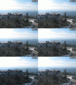
Lysá hora 1323 m n. m. - královna Moravskoslezských Beskyd
Sonntag 25. Mai 2025
Památný strom [ Geschützter Baum ]


PLAZIERUNG
- WGS-84: 49.534516667N, 17.901833333E
- Katastergebiet: Poruba nad Bečvou
- Gemeinde oder Stadt: Hustopeče nad Bečvou
- Verwaltungsbezirk 2: Hranice
- Verwaltungsbezirk 3: Hranice
- Region NUTS 4: Okres Přerov
- Region NUTS 3: Olomoucký kraj
- Region NUTS 2: Střední Morava
- Turistische Region: 36 Střední Morava - Haná
- Touristische Region: Střední Morava
WEITERE INFORMATIONEN: http://www.ihustopece.cz
Satzart: Geschützter Baum
DATENAKTUALISIERUNG: uživatel č. 260 org. 56, 09.09.2007 v 11:03 hodin


